Share your trails on Instagram Stories
Create stunning topographical maps perfect for Instagram Stories and Posts. Import your GPX file, choose a style, and share your adventure in seconds.
Free to try. Share 3 trails per month. No credit card required.
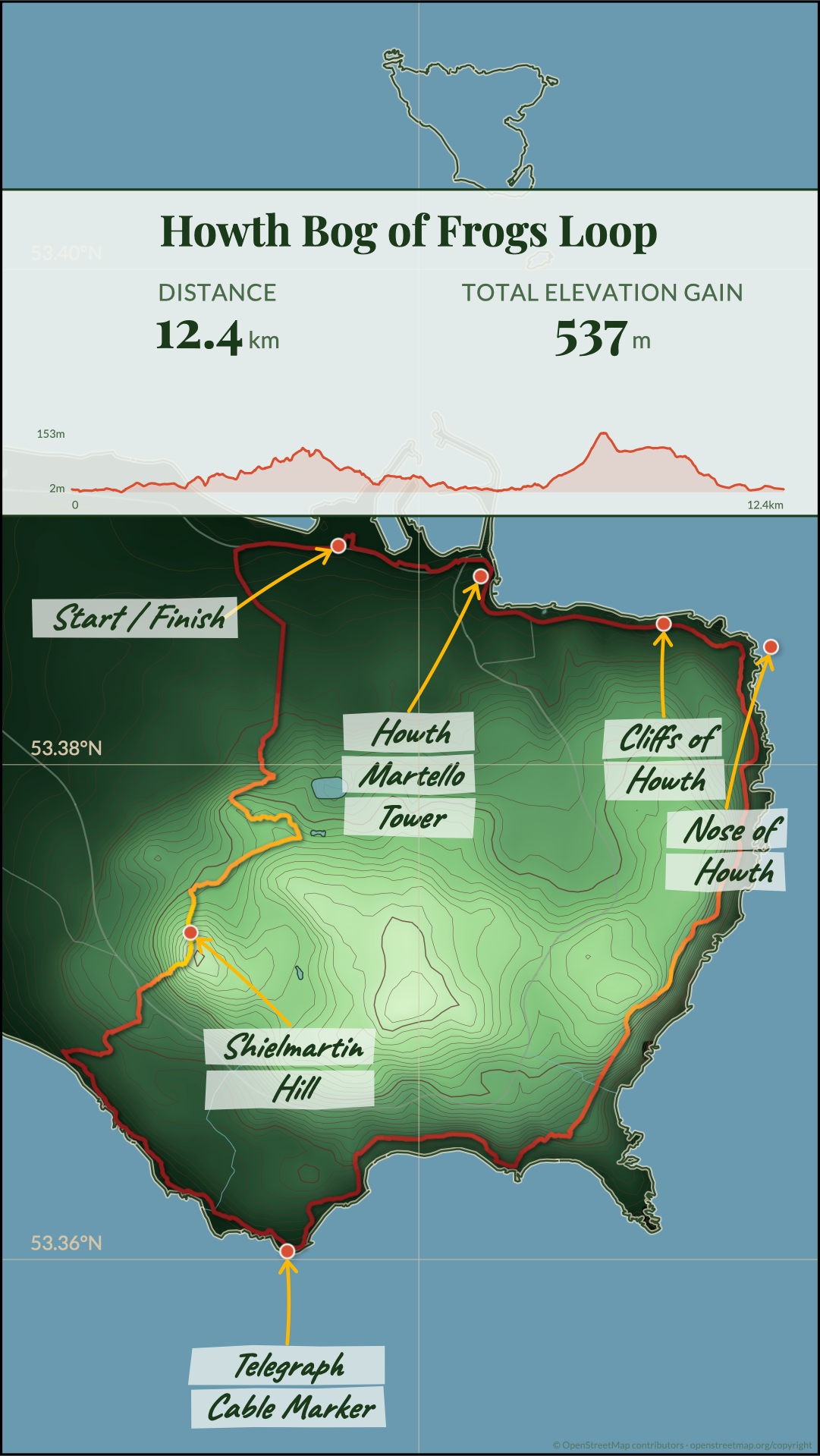
Howth Bog of Frogs Loop
12.4km · 537m elevation
Everything you need
From GPX upload to Instagram sharing—or upgrade for unlimited exports, new styles, AI storytelling, and print quality.
Import any GPX file
Upload trails from Strava, Komoot, AllTrails, or any GPS device. We handle the rest.
Instagram Post & Story formats
Export in perfect dimensions for Instagram Posts (1:1 square) and Stories (1080x1920 vertical). Share your adventure instantly.
Automatic elevation data
Real terrain data is fetched automatically to generate accurate contour lines.
Points of interest
AI-powered research suggests relevant landmarks, viewpoints, and facilities.
Export for Instagram or print
Free tier includes Instagram Post and Story formats. Upgrade to Pro for high-resolution print files (SVG/PNG).
Water features
Lakes, rivers, and coastlines are rendered beautifully from OpenStreetMap data.
Customizable styles
Adjust colors, typography, and contour density to match your vision.
Thirteen stunning style presets
Choose from carefully crafted visual styles, each designed to highlight the beauty of your trail in a unique way.
Classic
Traditional cartographic style with warm earth tones
Nordic
Cool, minimalist design inspired by Scandinavian maps
Vintage
Aged paper aesthetic with hand-drawn contours
Forest
Deep greens celebrating the natural landscape
Ready to share your trail?
Import your GPX file and create a stunning Instagram Story in minutes.